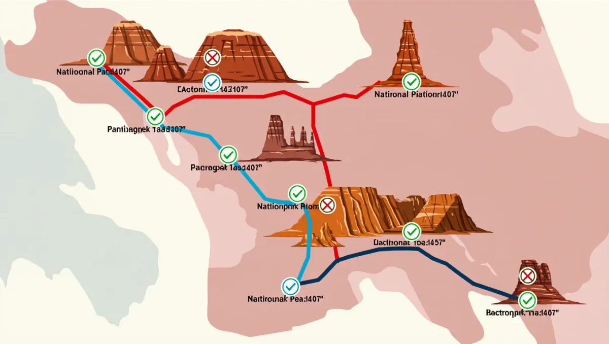
Winter is prime time for Utah desert backpacking: the same slot canyons and slickrock loops that become furnaces from June through September settle into calm, cool, walkable country from November through April. Five routes stand out for cold-season trips — Chesler Park Loop in Canyonlands National Park (about 11 miles, per National Park Service trail data), Lower Muley Twist Canyon in Capitol Reef National Park, the Paria Canyon corridor, Buckskin Gulch, and the Little Death Hollow–Wolverine Loop on Grand Staircase–Escalante National Monument land — and every one of them needs a permit from the managing agency before you start walking.
Cold-season desert travel trades heat risk for different ones: short days, freezing nights in the teens, and the Southwest's flash-flood calendar, which the National Weather Service tracks year-round. This guide is planning information, not a substitute for current conditions — check with the managing agency within a day of your start, because routes here close for floods, snow, and road damage without much notice.
Why backpack the Utah desert in winter instead of spring?
Three reasons, all practical. Water flows more reliably in the canyon rivers and potholes after late-fall storms. Solitude returns: the Paria Canyon permit quota that sells out on spring weekends sits wide open on January weekdays. And the temperatures work for walking — high-country desert routes that hit 100°F in summer hold 40s and 50s in January sun. The cost is daylight under ten hours around the solstice and nights that freeze solid, so your sleep system needs a genuine winter rating, not a three-season bag with hope.
Which routes work best for a first winter desert trip?
Start with the Chesler Park Loop in the Needles District of Canyonlands National Park. The National Park Service describes this roughly 11-mile loop from Elephant Hill as strenuous, and it crosses jointed slickrock, sand, and four short pass squeezes with camps at Chesler Park and Elephant Canyon that require a backcountry permit reserved through the park. It is high, open, and mostly free of flood hazard, which makes it the safest intro to the region's winter character. Carry all your water; the potholes along the route cannot be counted on in a dry year.
What about the classic slot canyon traverses?
The Paria Canyon corridor is the region's marquee multi-day: about 38 miles from the White House Trailhead in Utah down to Lee's Ferry in Arizona, per Bureau of Land Management route information, usually run in three to four days with camps on sand benches above the riverbed. The BLM issues permits through its recreation.gov lottery system, and winter dates are far easier to get than spring ones. Expect wading, deep sand, and sheer walls that close off your escape for long stretches — the BLM's own guidance stresses checking the National Weather Service forecast for the whole drainage before entry, because rain anywhere upstream funnels into the canyon.
Buckskin Gulch, which the BLM and most guidebook systems describe as one of the longest continuous slot canyons in the world, pairs with Paria: most parties drop in at Wire Pass, walk the narrows to the Paria confluence, and either continue down the Paria or hike back up the canyon's middle route to the White House Trailhead. Overnight use needs a permit from the BLM, and the same flood discipline applies with interest — there are miles where you cannot climb out at all.
Where should experienced parties go?
Two picks. Lower Muley Twist Canyon runs through the Waterpocket Fold in Capitol Reef National Park — roughly 15 to 20 miles depending on whether you start from the Notom-Bullfrog Road or the Burr Trail, per the park's backcountry guide — through narrows, domes, and a creekbed that usually flows lightly or not at all. The park requires a free backcountry permit for overnight trips, and the drive in on the Notom-Bullfrog Road is the real risk factor in winter; washboard dirt turns to clay goo after any storm.
The Little Death Hollow–Wolverine Loop on Grand Staircase–Escalante National Monument is the wildest of the five: about 20 miles of BLM-managed country combining the slot of Little Death Hollow, the bristlecone-dotted benches of the Wolverine overland, and a return through the petrified-wood-filled Wolverine wash. The BLM manages camping with a free or low-cost overnight permit depending on current rules, navigation is map-and-GPS territory, and the mileages here are estimates from route descriptions rather than agency-maintained trail data — treat them as planning figures.
| Route | Distance | Managing agency | Permit | Watch for |
|---|---|---|---|---|
| Chesler Park Loop, Canyonlands | About 11 mi | National Park Service | Backcountry permit, reserved | Cold nights, carry all water |
| Paria Canyon traverse | About 38 mi | Bureau of Land Management | Permit via recreation.gov lottery | Flash floods, long wading |
| Buckskin Gulch | 13-21 mi variants | BLM | Overnight permit required | No escape from deep narrows |
| Lower Muley Twist, Capitol Reef | About 15-20 mi | National Park Service | Free backcountry permit | Dirt-road access after storms |
| Little Death Hollow–Wolverine | About 20 mi | BLM / Grand Staircase–Escalante NM | Per per current BLM rules | Navigation, no maintained trail |
What gear changes for cold-season desert trips?
Insulation first: a bag rated to 20°F or below, a pad with real R-value against sandstone that steals heat all night, and a puffy you wear the moment you stop. Sun runs the daytime risk list — the low winter angle reflects off canyon walls, and sunburn is as likely as frostbite on the same trip. Carry more water capacity than summer logic suggests, because reliable springs are scarce and the agencies' water notes for these routes all carry the same caveat: treat any source, verify flows locally, and never plan a camp around an unverified spring. Navigation matters in canyon country where trails are often just a wash; bring a map and a GPS track from a current source.
Conditions in canyon country change with every storm — check current road, water, and flood information with the managing agency before you go.
Route facts
- Region: south-central and southern Utah — Canyonlands NP, Capitol Reef NP, Paria Canyon–Vermilion Cliffs Wilderness, Grand Staircase–Escalante NM
- Season: November through April; avoid flash-flood season (roughly July-September per NWS convention)
- Permits: required on all five routes — from the National Park Service for the parks and the Bureau of Land Management for Paria, Buckskin, and Escalante country (rules current as of 2025)
- Difficulty: moderate to strenuous; ratings per managing agency route descriptions where published
- Conditions change — check with the managing agency before you go
Frequently asked questions
Does it snow in the Utah desert?
It can. Winter storms regularly drop snow on the slickrock benches and occasional inches in the canyons, and cold-weather agencies including the National Park Service advise expecting overnight lows in the teens or colder on winter trips. Snow usually melts fast at low elevations, but mud and icy narrows can follow.
How do permits work for Paria Canyon in winter?
The BLM runs Paria Canyon permits through recreation.gov with daily quotas, and winter dates are typically available closer to the trip than spring ones. Confirm the current process on the BLM page for the Paria Canyon–Vermilion Cliffs Wilderness before you apply, because permit systems get revised.
Is Buckskin Gulch safe to backpack in winter?
With discipline, yes — the flood risk is lower outside storm events, which is why winter draws canyon walkers. But the National Weather Service can forecast rain days out, and any precipitation risk upstream is a no-go in the narrows. Check forecasts for the entire drainage, and be willing to cancel.
Can you do these routes as day hikes instead?
Sections, yes: the Chesler Park Loop and a Wire Pass–to–confluence out-and-back in Buckskin both work as long day trips without an overnight permit, though day-use quotas still apply on the Paria system. The full Paria traverse and the Wolverine Loop need the multi-day commitment.