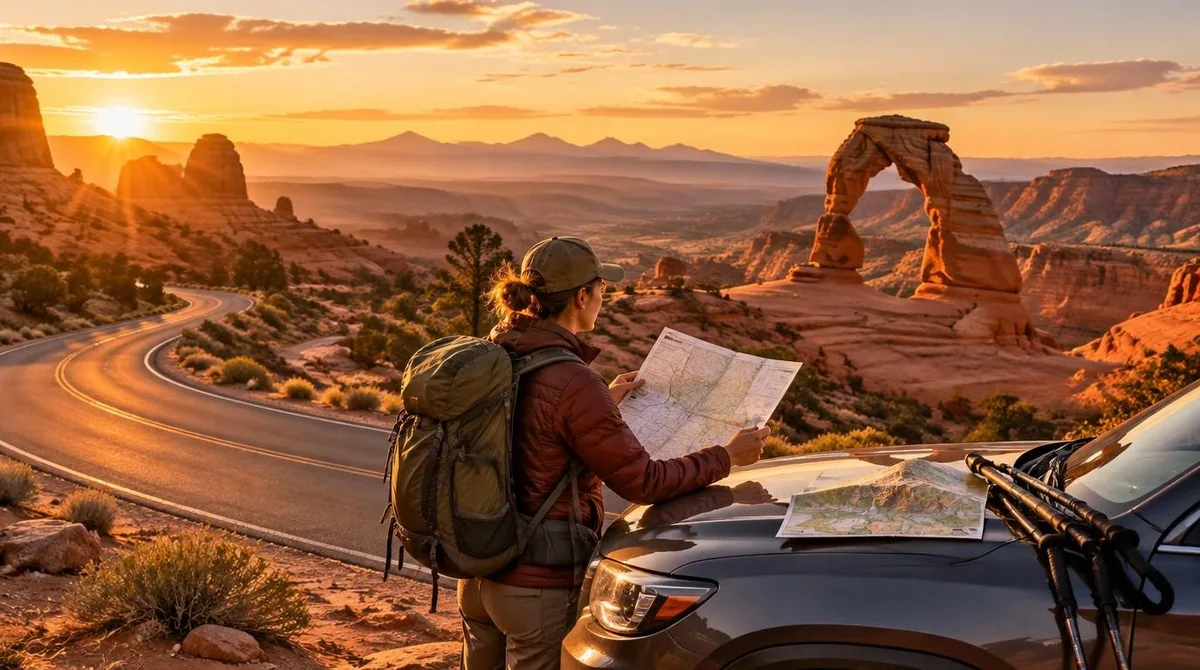
A Mighty 5 national parks trip links Utah's five national parks — Zion, Bryce Canyon, Capitol Reef, Arches and Canyonlands — into one road trip, and the honest planning answer is this: pick your season first, then build the route around it. The trip works best as a weeklong loop of roughly 1,200 miles, which is what one Nevada group logged on their early-March run through all five, according to the Las Vegas Review-Journal. The main qualification: summer brings brutal heat and crowds, winter brings snow and closed services, and late June through September brings monsoon flash-flood risk in the slot canyons.
None of that should talk you out of the trip. It is one of the most rewarding driving itineraries in American outdoors travel, and it rewards planners disproportionately. Start early each day, watch the forecast, and book the two or three things that actually sell out — lodging near Zion and campsites in season — and the rest falls into place.
If you are new to building multi-stop routes, our travel itinerary template walks through the same process step by step, and the planning hub collects the rest of our trip-planning guides.
When should you go?
Aim for late May or early March if you can. Those two windows bracket the problems. Winter is the quietest time on all five parks, and an early-March visit means lighter crowds — but also falling snow, icy trails and seasonally closed restaurants, as the Review-Journal's reporting party found. Summer, by contrast, is peak season: April through October are the busiest months, and midday heat in late May already felt brutal to a visitor from Georgia.
The monsoon is the constraint that matters most for safety. It runs from late June through September, and rain in this terrain can trigger fast-moving, life-threatening flash floods — including well downstream from where the rain actually fell, as weather.com associate meteorologist Miriam Guthrie wrote after her own two-week Mighty 5 road trip. Even a small amount of rain can set off flooding quickly, so check the forecast daily wherever you are in the trip, whatever the month.
For a deeper comparison of shoulder months elsewhere, see our guide to shoulder season travel — the same logic applies here. This connects to our earlier piece, Best Shoulder Season Destinations — Shoulder Season Travel: The Best Months to Visit Popular Destinations.
What order should you drive the parks?
The natural loop runs southwest to east, and the geography does most of the work. A common shape:
- Zion — the southern gateway, typically entered from St. George or Springdale.
- Bryce Canyon — a few hours east of Zion through the Zion-Mount Carmel tunnel, and a full elevation step higher.
- Capitol Reef — the quiet middle leg, a nearly 100-mile warp in the Earth's crust with far fewer visitors.
- Arches — based in Moab, with the densest assembly of natural stone arches in the park system.
- Canyonlands — just down the road from Arches, all colossal canyons carved by the Colorado and Green rivers.
Driving it in that order means each park feels distinct: Zion's towering cliffs, Bryce's high-elevation hoodoos, Capitol Reef's painted rock layers, then the arch-and-canyon country of Moab. The Review-Journal party ran essentially this sequence over a week and found the parks exceeded expectations by the end of the 1,200 miles.
What do you need to know about Zion's logistics?
Zion is the park that punishes late starts. It draws nearly 5 million visitors a year, and personal cars are banned from most of the canyon, so most visitors ride the park shuttle. The lines get long fast — one party arriving at 6:30 a.m. already found people queued. If you are visiting in summer, get there for the first shuttle of the morning, or better, skip the queue entirely.
The alternative is pedaling. Biking the 7-mile Zion Scenic Canyon Road gives you control over your own schedule, with shuttle stops and bike racks along the way for trail access. E-bike rentals ran $80 to $100 per person at Zion Cycles when the Review-Journal visited, and their group totaled about 18 miles of electric-assisted riding in a day, locking up at trailheads for the Riverside Walk and the Middle Emerald Pools.
Sleep in Springdale the night before. The town borders the park entrance, lodging runs mostly costly because you are paying for proximity, and the free town shuttle connects hotel stops to the gate — which is exactly why you want a parking spot near a shuttle stop when you book.
Which trails are worth your limited time?
You cannot hike everything in a week, so pick one signature walk per park and one easy add-on. The trails below come from the two reported trips, with distances and difficulty as those sources describe them.
| Park | Trail or viewpoint | What the sources report |
|---|---|---|
| Zion | The Narrows (via Riverside Walk) | Wade upstream in the Virgin River between walls a thousand feet tall and as little as 20 to 30 feet apart; you can go as far as Big Spring — a strenuous 10-mile round trip — without a wilderness permit. |
| Zion | Watchman Trail | A moderate 3.3-mile out-and-back near the visitor center, with a chance of spotting bighorn sheep. |
| Bryce Canyon | Rim Trail | Runs 5½ miles connecting viewpoints from Bryce Point to Fairyland Point; partly muddy and icy in winter. |
| Bryce Canyon | Mossy Cave | A short trail about 5 miles past the main entrance, a good first look at the hoodoos — the world's largest collection of them. |
| Arches / Canyonlands | Sunset alternative | Skip the crowded sunset spots in the parks and head to Dead Horse Point State Park instead, for panoramic views of the canyon and Colorado River. |
One note on Bryce in winter: the roads to Paria View and Fairyland Point close to cars, which turns them into snowshoe and cross-country ski routes. In warmer months, moderate and challenging paths drop below the rim into the hoodoo amphitheaters, with far fewer people than the rim itself.
How do you handle the heat, sun and altitude?
Structure your days around the sun. In summer, hike before 10 a.m. and after 4 p.m., when it is cooler and the sun is not directly overhead — that is the advice Guthrie gives from her own trip, where she woke at 5 a.m. nearly every day to beat the heat, find parking and avoid crowds on popular trails.
The altitude and dry air are the second adjustment, especially coming from a humid climate. Expect to be more out of breath on strenuous climbs, and take the sun seriously: it is more intense at higher elevations, so bring a hat, more sunscreen than you would normally use, and consider a sun shirt. Pack more lip balm and lotion than seems reasonable. Bryce sits at the top of the Grand Staircase, an elevation ladder that runs from about 9,100 feet at Rainbow Point down to 2,500 feet in the Grand Canyon, and you will feel the thin air on any climb there.
These are exactly the kinds of contingencies worth building into your plan before departure — our week-before trip checklist covers the final pass. It is also worth confirming before a remote desert trip whether your policy includes rescue: see whether your travel insurance covers helicopter rescue. For related coverage, see Does Your Travel Insurance Cover Helicopter Rescue? How to Find Out.
What this means for your planning
The evidence from both reported trips points the same way: the Mighty 5 national parks reward an early, weather-aware plan more than any particular route genius. Choose late May or early March if your schedule allows. Drive the southwest-to-east loop. Book Springdale lodging and in-season campsites early — our guide to campground reservation windows explains when bookings open. Start every day at dawn, hike the cool hours, and check the forecast before entering any slot canyon.
What the sources leave open is the finer detail: current entrance fees, timed-entry rules and trail closures all change, and none of the reporting here substitutes for the managing agencies' own current pages. Conditions change — check with the National Park Service for each park before you go.