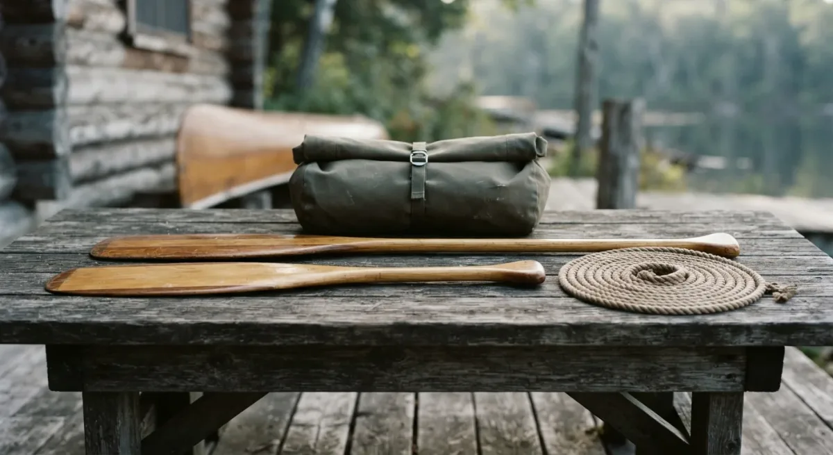
The Buffalo National River runs 135 miles through the Arkansas Ozarks without a single dam, and it was designated the country's first national river in 1972, managed by the National Park Service. The key qualification for planning: the upper river's float season is set by water level. The classic put-in reach below Ponca is reliably paddleable in spring and early summer, and by late July it's often too low for anything but dragging — check the U.S. Geological Survey gauges, not the calendar.
Conditions change — the Park Service's river conditions page and the gauge readings are the sources that matter before you go.
Why do water levels decide everything here?
An undammed river answers to rain. The Buffalo's three sections differ sharply: the upper river (Ponca to Pruitt) is narrow, spring-fed, and the most dependent on recent rainfall — the Park Service notes it's typically floatable from early spring into early summer, sometimes longer in wet years. The middle river (Pruitt to Gilbert) holds water longer. The lower river (Gilbert to the White River confluence) is the summer default, floatable most years into August and beyond with gentler current and higher banks. The USGS maintains several gauges along the river, and local outfitters and the Park Service both read the same numbers — anything near or below about two feet at the Ponca gauge means scraping; above roughly six to eight feet on the middle gauges means the current is moving faster than casual paddlers should take on.
Do you need a permit or a shuttle plan?
No permit is required for private day floats on the river itself — one of the quiet advantages of a national river administered as a park. What you need is access and logistics:
- Pick your reach by the season: upper in spring, middle in early summer, lower when it's warm.
- Reserve a shuttle or shuttle-and-rental package with an outfitter in Ponca, Pruitt, Gilbert, or Tyler Bend — most run daily in season and book out on summer weekends.
- Camping is free-with-limits: the Park Service allows gravel-bar camping along the river within its boundaries, and developed campsites at Tyler Bend and other park campgrounds carry small nightly fees per the park's current fee schedule.
- File a float plan with someone who isn't on the water, and note which access points have cell coverage — the river corridor largely doesn't.
What do the classic sections actually paddle like?
The headwater reach above Ponca is for boaters with moving-water experience: the Park Service rates several upper-river stretches as whitewater in high water, and the reach through the Upper Buffalo Wilderness is accessible mainly by trail and seasonal flow. The Ponca-to-Kyles Landing day float — roughly 10 miles — passes 200-foot bluffs, including the Big Bluff area, one of the tallest sheer bluffs in the Midwest per the Park Service. The middle river's Pruitt-to-Carver stretch mellows the pace. The lower river's long pools suit hot-weather family floats, with the trade-off of longer distances between access points.
| Section | Typical season (per NPS) | Character |
|---|---|---|
| Upper (Ponca–Pruitt) | Early spring to early summer | Bluffs, moving water, rain-dependent |
| Middle (Pruitt–Gilbert) | Spring into midsummer | Mellow current, gravel bars, good camping |
| Lower (Gilbert–White River) | Most of the year | Long pools, summer default, fewer accesses |
What should you respect while you're there?
The corridor holds elk herds reintroduced in the 1980s and three federally listed bat species whose caves are closed to entry by Park Service order — carry-out rules apply to gravel-bar camps, and firewood movement restrictions exist to slow invasive insects, per the park's Leave No Trace guidance. Private land pockets sit inside the boundary along the lower river; river-level gravel bars are public, but land above the banks may not be. In high water the river runs brown and strainer-heavy — downed trees against the current are the Buffalo's main hazard in the Park Service's safety materials, and they deserve more respect than the rapids do.
River facts: Buffalo National River, Arkansas · 135 miles, undammed, Ponca headwaters to the White River confluence · difficulty ranges from calm pools to upper-river whitewater in high water, as rated by the National Park Service · no private float permit; developed campground fees per the park's schedule, checked for the 2024 season · season spring through summer on the upper river, longer below Gilbert · managed by Buffalo National River, U.S. National Park Service. Conditions change — check the gauges and the park's river page before you go.
For more context, read How to Get a Half Dome Permit in 2025.
For more context, read How Backcountry Permit Lotteries Actually Work.
For more context, read How Norway's mountain huts still run on a stranger's honesty.