Water planning on a long hike reduces to one discipline: identify every source along your route, verify each one's reliability for your specific season, and size your carry capacity to the longest reliable gap — because a hiker who can cover the driest stretch can cover everything shorter. Most water emergencies on long trails trace back to a skipped step in that sequence, usually the second one: a source marked on the map that a drought turned into a dry gravel bed three weeks before you arrived.
This guide covers the method for multi-day and long-distance routes. Sources, caches, and availability change constantly with weather and management decisions — verify current water reports and conditions with the managing agency and current-year trail reports before every leg, and never rely on this article as your field source list.
How do you map water sources properly?
Use layered sources, in order of authority. Start with the managing agency's water notes — national forests, parks, and trail organizations publish water-source tables for popular long routes, some updated through the season. Add topographic maps and satellite imagery to understand why a source exists: a creek fed by snowmelt behaves differently from a spring, and a stock pond is not drinking water even when full. Then layer current-year trip reports and trail-water databases kept by hiker communities, which flag dry, contaminated, or newly unreliable sources in real time. A source that appears in all layers — agency notes, terrain logic, and a current-season report — is the only one you plan around without a backup.
How much carry capacity do you actually need?
Size to the longest dry gap plus margin. The math: daily drinking and cooking demand runs 2 to 4 liters in temperate conditions, considerably more in desert heat where land agencies commonly advise a liter per hour of hiking in high heat; multiply by the hours or days between verified sources, add a 1-liter emergency margin, and carry that much capacity at minimum. On desert routes this produces the classic 4-to-6-liter carries between reliable water; on wet mountain routes, 2 liters may bridge every gap on the route. Capacity is weight you choose: each liter is about 2.2 pounds, which is why the verification step — knowing which gaps are real — matters more than simply carrying more.
How do you treat water from backcountry sources?
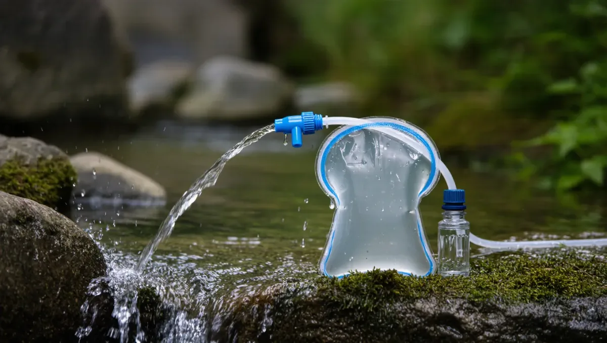
Assume every source needs treatment, including clear alpine streams that look pure — upstream beavers, cattle, and human waste introduce pathogens into water that tastes perfect. The mainstream options, each with a manufacturer-rated scope: hollow-fiber filters remove protozoa and bacteria but not viruses; chemical treatment and UV handle viruses where they matter, mostly in waters with heavy human upstream use; boiling handles everything at a fuel cost. Match the method to the water: filters for mountain streams, purification where sources pass through grazing or camping country. Carry a backup treatment method — purification tablets weigh an ounce and cover a dead filter.
Are water caches reliable to plan around?
Only as a bonus, never as a plan. On desert corridors, trail organizations, agencies, and volunteers maintain some caches — but their existence depends on volunteers, road access, and vandalism, and land managers set rules about caching: on some federal land, unmanaged caches are prohibited. Treat every cache as absent until a current-season report confirms it, never leave your own cache without the land manager's permission, and never count on finding water you did not verify. The hikers who get into trouble on desert trails are almost always the ones who planned around a cache that was not there.
How do you adjust the plan mid-hike?
Drink the plan, don't ration it blindly. At every verified source, drink deeply and fill everything — the standard discipline is leaving each reliable source at full capacity. Update your water log as you pass sources: a creek running low tells you the next one may be too, and gives you time to change the plan — a longer carry, a shorter day, a reroute to a reliable river — while the options still exist. Check in with the managing agency's current conditions when you resupply in town; seasonal closures of contaminated sources and new water notes appear mid-season.
What is the bottom line?
Layer your source intel, verify for the season, size carries to the driest gap plus a liter, treat everything, and update as you go. Water planning rewards the unglamorous work — the spreadsheet, the water reports, the calls to ranger districts — and punishing everyone who skims it. Conditions change weekly in dry country: check with the managing agency before you go, and again at every resupply.